GPS Maps Camera
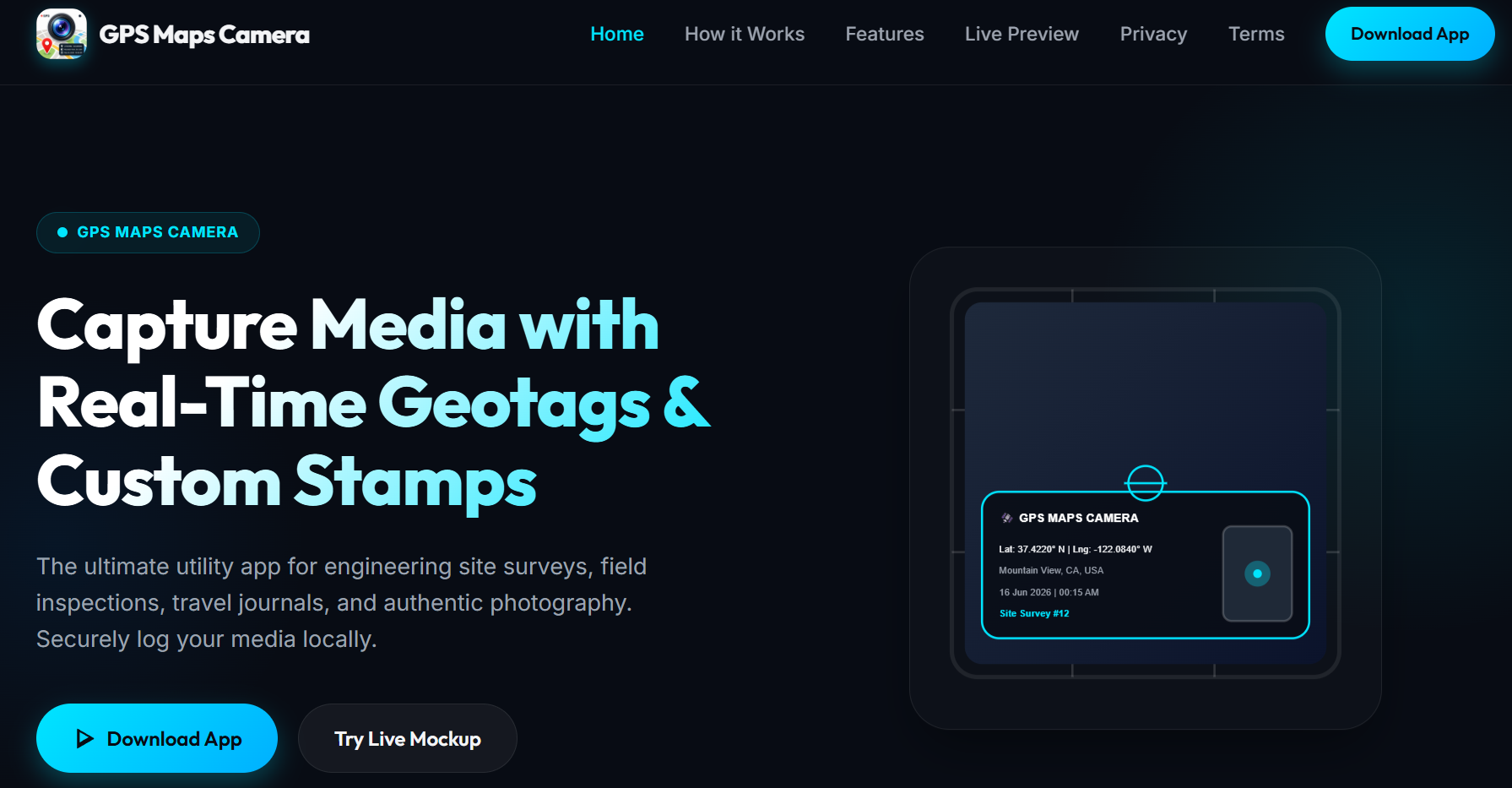
The ultimate utility app for engineering site surveys, field inspections, travel journals, and authentic photography. Securely log your media locally.
Technologies
Key Features, Maximum Impact
Capture Geo Tagged Photos & Videos
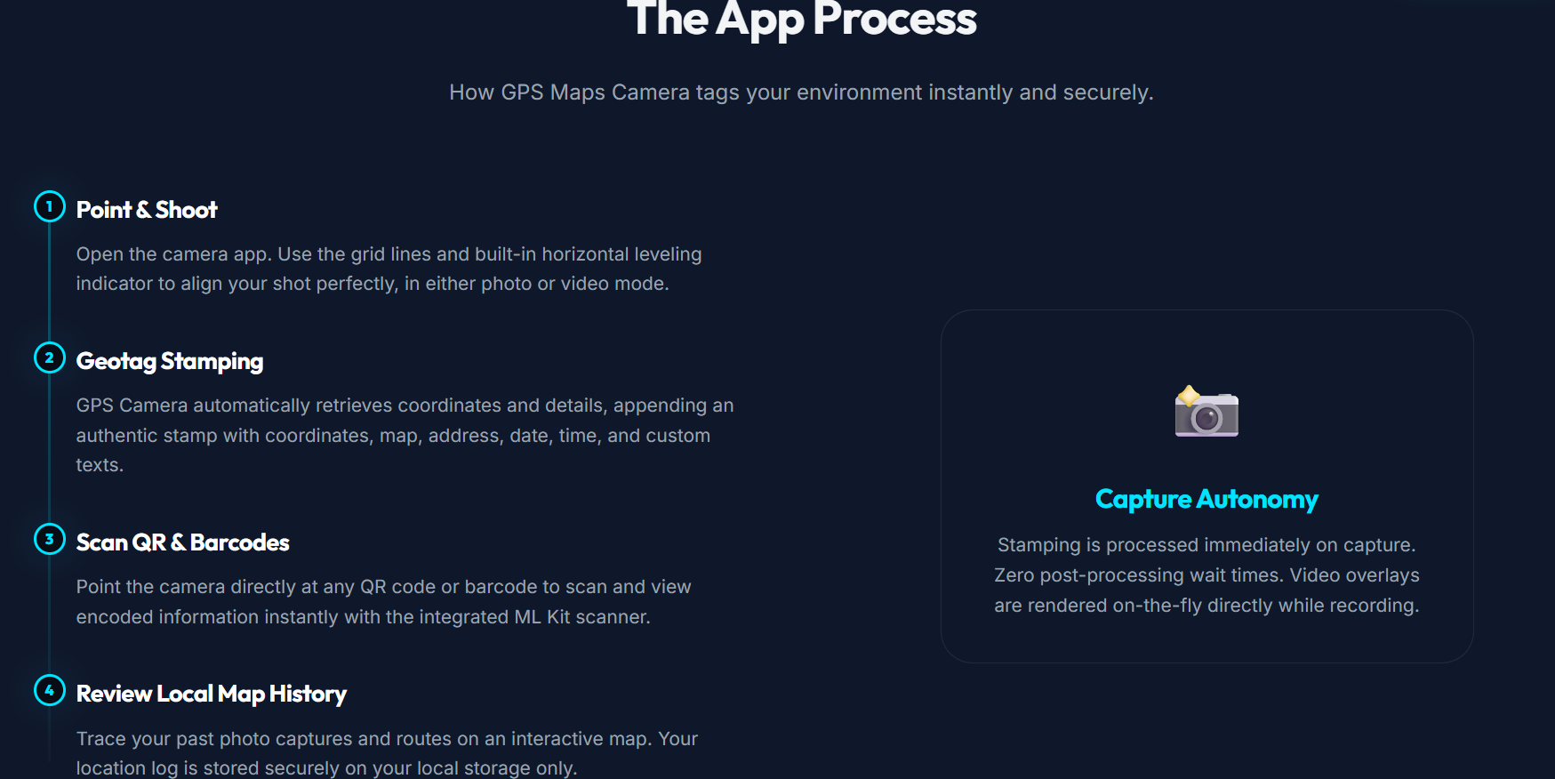
User can capture photo or video for sites or any locations & all photos/videos will be geo tagged with location address and longitude/latitude.
Tamper-Proof Verification
The mobile app signs your coordinate and timestamp details into metadata. Any tampering with photo details generates automated warning banners.
App Settings & QR & Barcode Ready
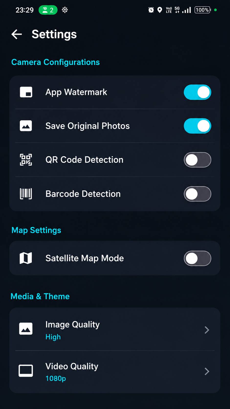
Dual-purpose viewfinder scans standard linear product barcodes and Aztec/QR 2D codes, displaying values inside a local overlay copy-dialog. Also, various settings to control the complete app like turn on/off app watermark, turn on satellite mode, change image/video quality, language, app theme and help, FAQs.
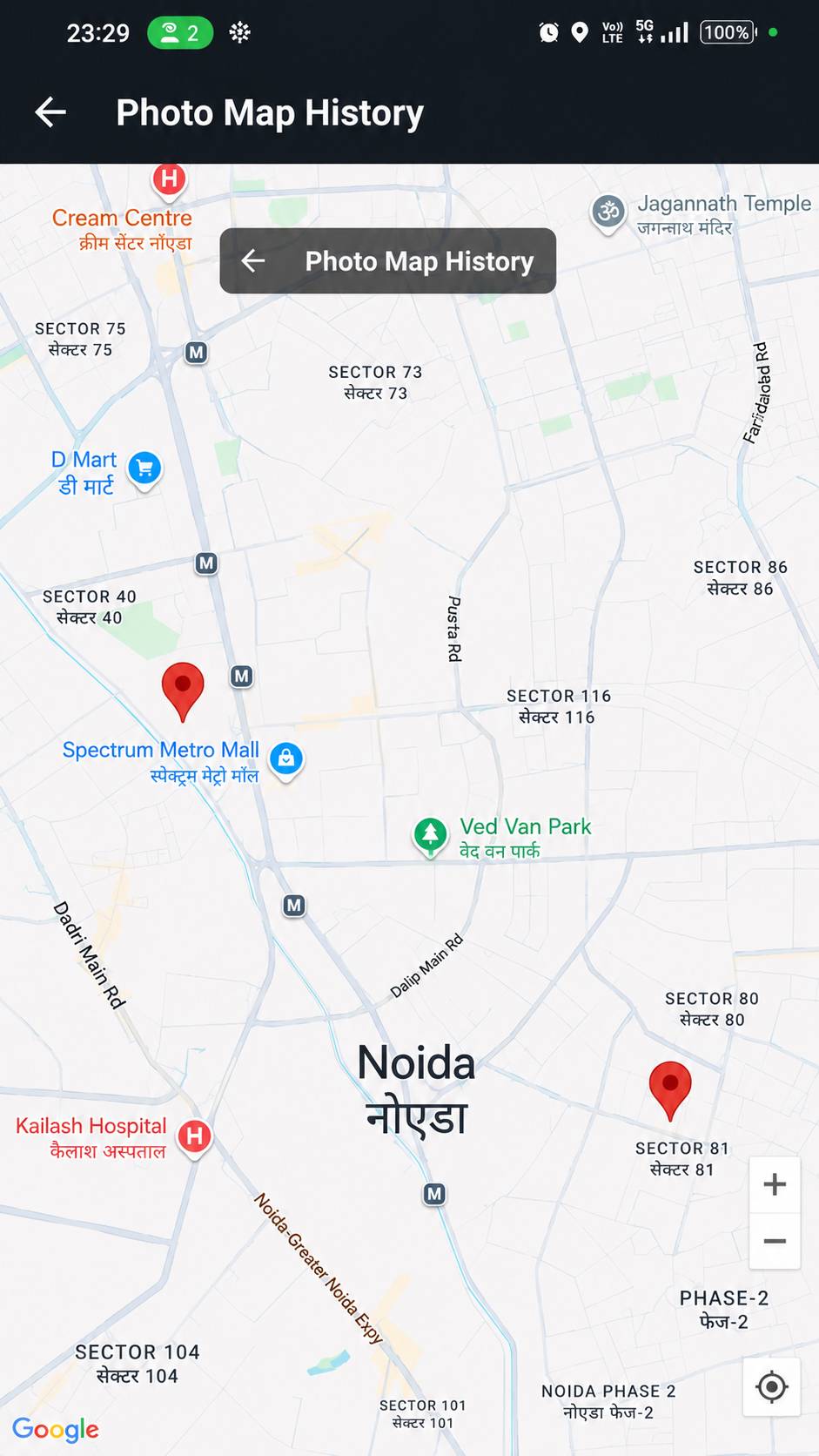
Photo Map History & Local Data
Every photo is mapped to Photo Map so that user can easily check where exactly they have capture that photo. This helps in easy locating photos/videos. Also, each photo or video captured through app stays in your device always.
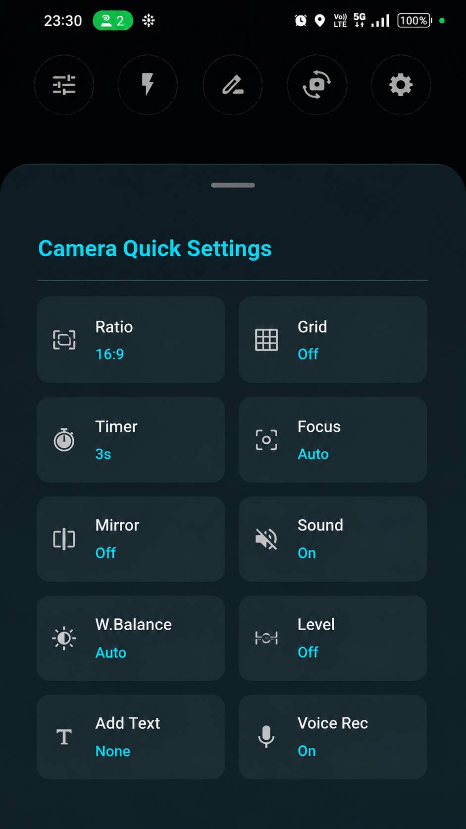
Quick Camera Settings
App provides quick camera settings which enables you to control the camera at your fingrtips. You can change ratio, turn on/off grid, add timer or change focus and also apply mirror mode and many other things can be done. App top panel menus provides option to turn/off flash light, change file naming format.
Ready to Build Something Amazing?
Let’s collaborate to turn your vision into reality with our innovative solutions.
"Innovation distinguishes between a leader and a follower."
— Steve Jobs
Expert Development
Innovative Solutions
Collaborative Approach